 The A.I. Daily
Issue 2026-10-31 · Industry · 研究 · 应用 · 开源
Google DeepMind maps global forests with satellite data and AI
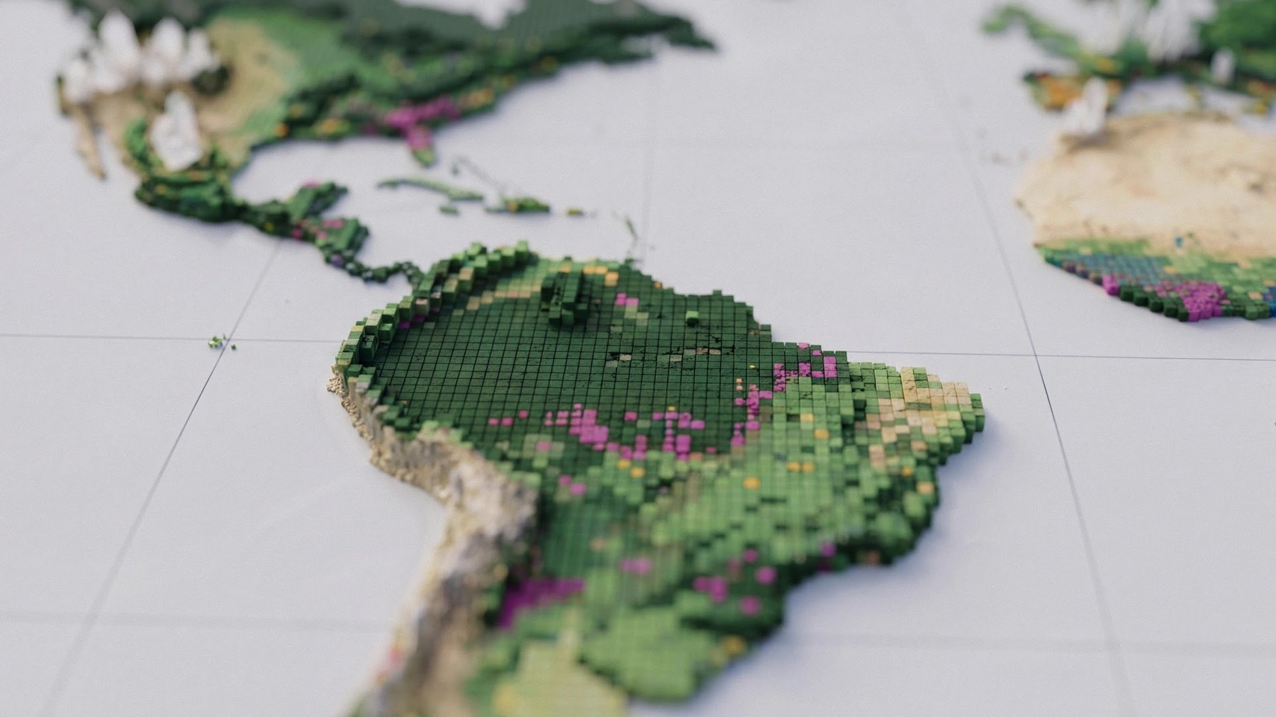
Google DeepMind and the World Resources Institute released ForTy, a global map using satellite data and AI to classify land into six categories including primary forest, plantations and tree crops, aiding deforestation tracking under EU rules. However, it identifies only about half of planted forests and tree-crop areas and 60% of plantations.
Read original ↗